
The Dolomiti SkiRock Alta Via excursions
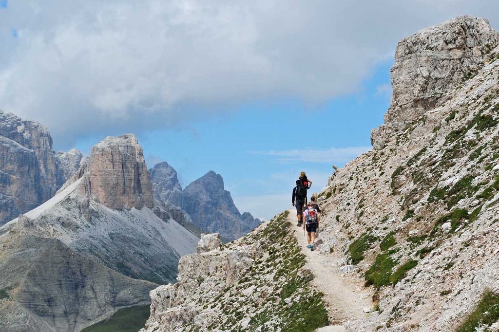
During the summer, the Dolomiti SkiRock Mountain Guides organize group hiking excursions to discover the wonderful Alta Via trails of the Dolomites, always accurately choosing the itinerary depending on the participants' level of experience, technical skills and physical fitness.
Alta Via n. 1 of the Dolomites
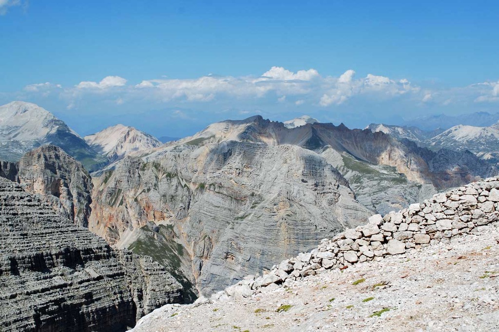
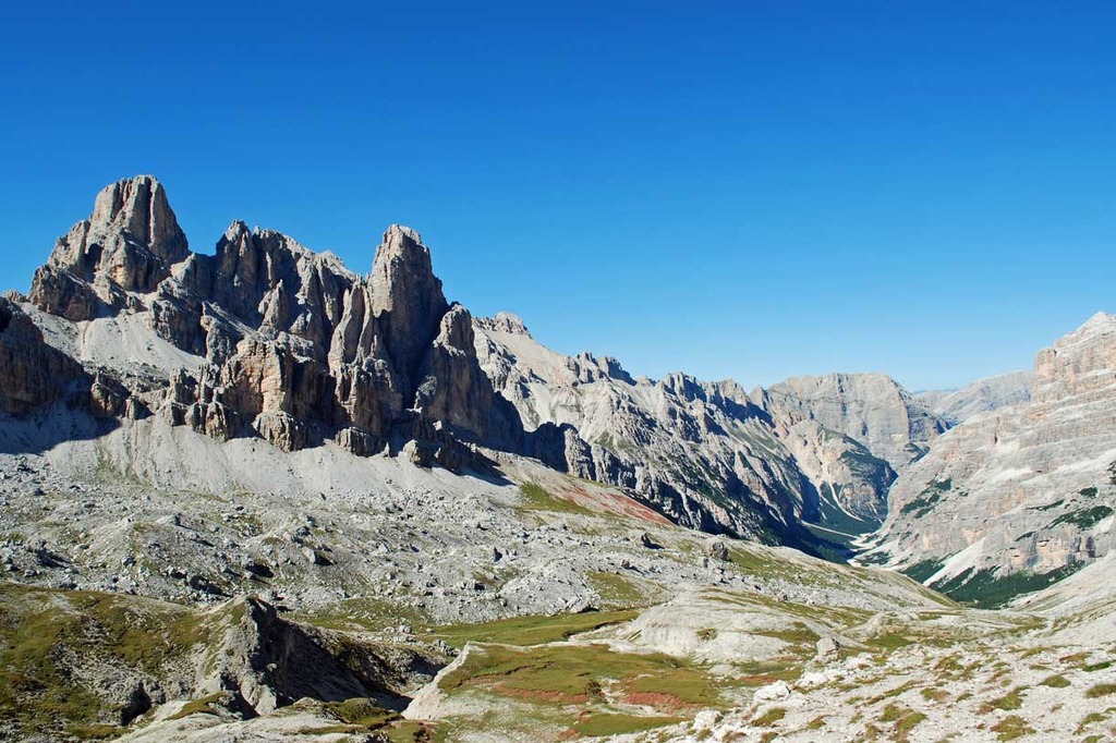
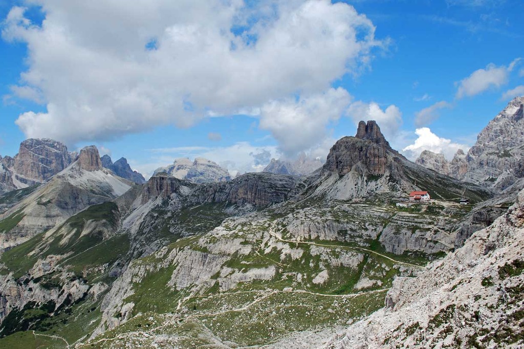
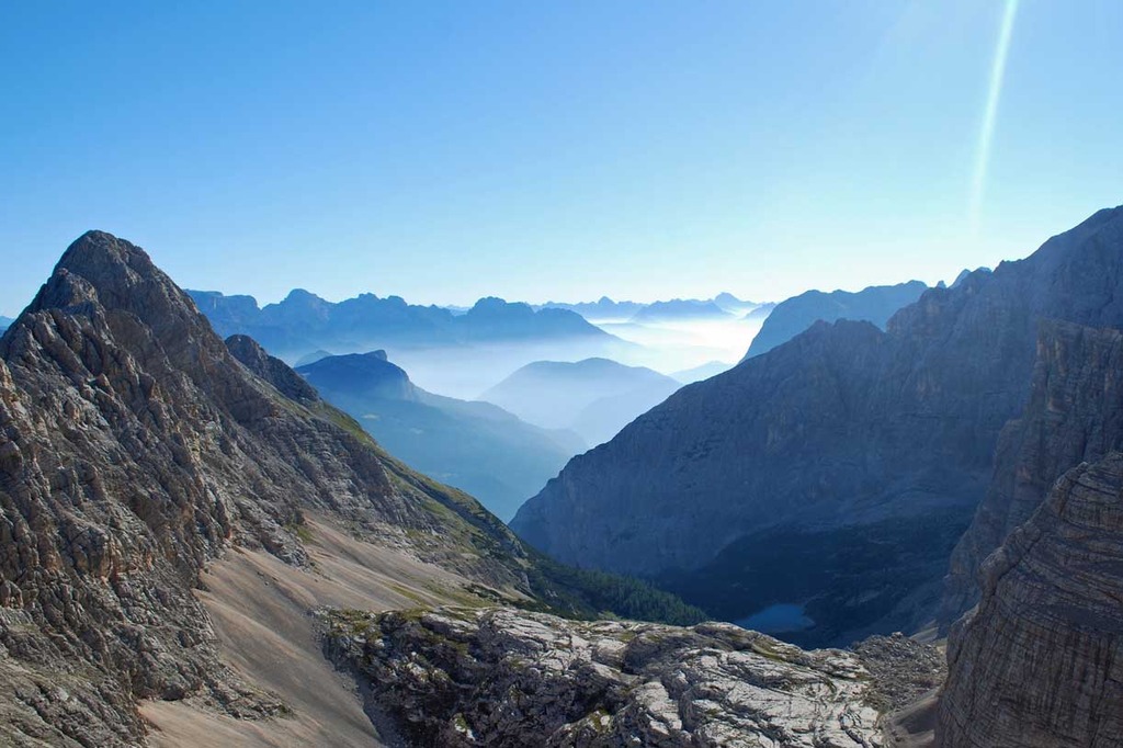
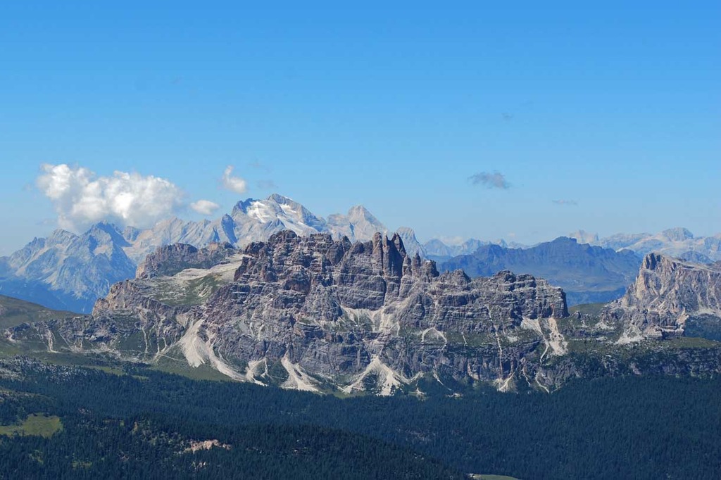
The Alta Via n.1, also known as the "classic" one, stretches out across the main Dolomites peaks starting from Lago di Braies, in the Bolzano province, to reach Belluno, along a 150 kilometre long itinerary.
The extremely diverse environments along the path are amazing: from the vertical rock faces hundreds of metres high to the stunning little lakes, on the slopes of the mountains that are part of the history of mountaineering. The Alta Via is a popular itinerary for the hikers, keen on the Alpine environmnt and nature, who like to spend the evenings in the mountain huts, from where it is possible to see the legendary and spectacular phenomenon of Enrosadira (when the light of the setting Sun gives to the mountains their famous rose colour).
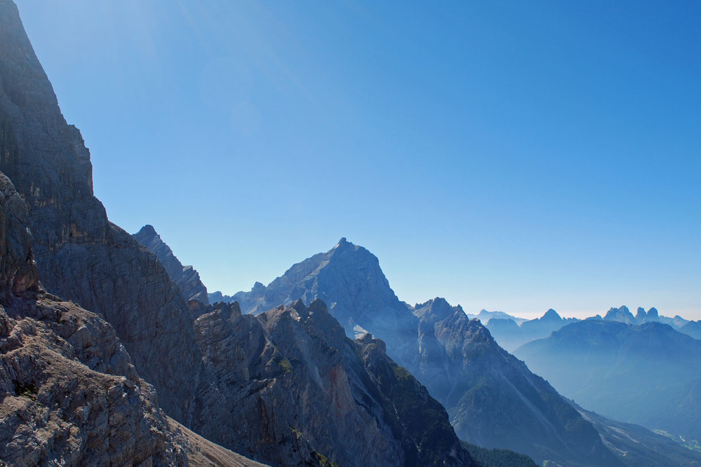
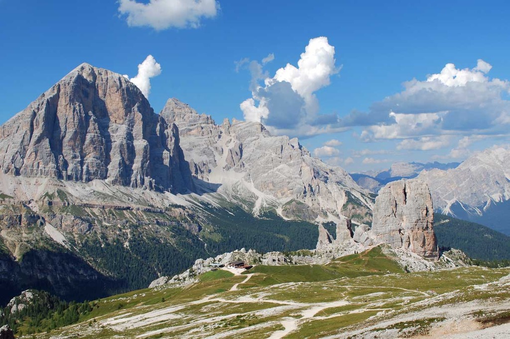
The itinerary starts in the Braies Dolomites and crosses the "Strada delle Dolomiti" that overlooks the entire Ampezzo Valley, reaches the Cinque Torri, one of the most famous sport climbing sites, and the Nuvolau peak, where there is one of the most beautiful natural terraces over the Dolomites. From Croda da Lago, the relatively easy itinerary overlooks the Zoldo valley. From there, it passes before the faces of Monte Pelmo, one of the first peaks ascended at the end of XIX century, and the Civetta massif to reach teh pristine valleys of the Dolomiti Bellunesi National Park.
The arrival point of the Alta Via is the Alpine town of Belluno.
Technical details of the Alta Via n.1 of the Dolomites:
- Starting point: Lago di Bràies 1494 metres
- Arrival point: Belluno 389 metres
- Length of the itinerary: approximately 150 Km
- Duration time: 12 days
- Overall elevation gain: 8.000 metres
- Overall elevation loss: 10.170 metres
- Highest point of the itinerary: 2.752 metres (Rifugio Lagazuòi)
- Lowest point of the itinerary: 389 metres (Belluno)
- Mountain huts along the main path: 15
- Bivouacs along the main path: 1
- Food points along the route: 6
- Signposting: managed by the CAI (Italian Alpine Club), the trail is very well marked throughout.
Grohmann Alta Via n.4
This trail is called "Alta Via di Grohmann", in honour of the famous Austrian mountaineer, who pioneered some of the main peaks of the Dolomites in the middle of the XIX century, traversing the most renowned Dolomites massifs.
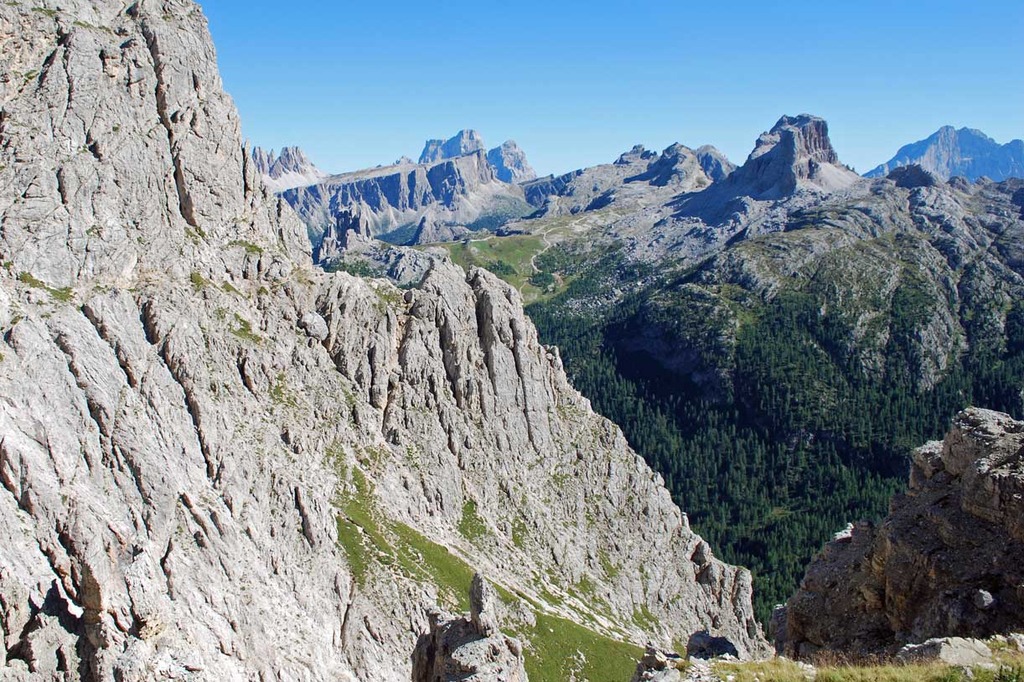
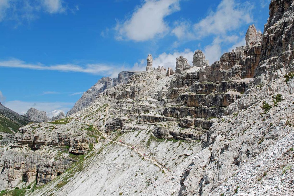
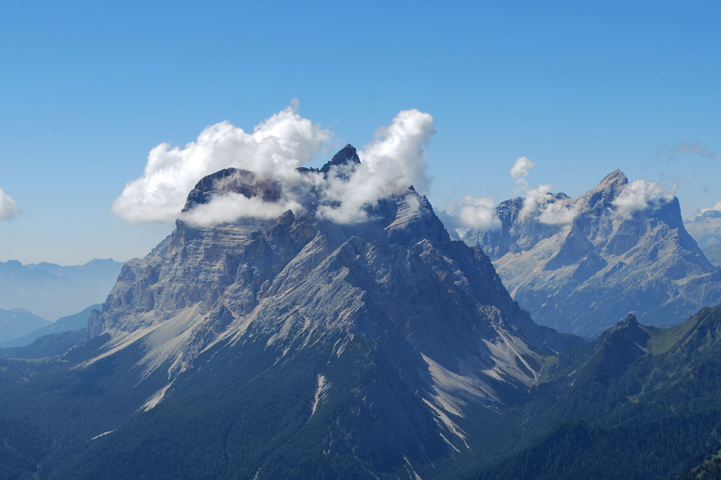
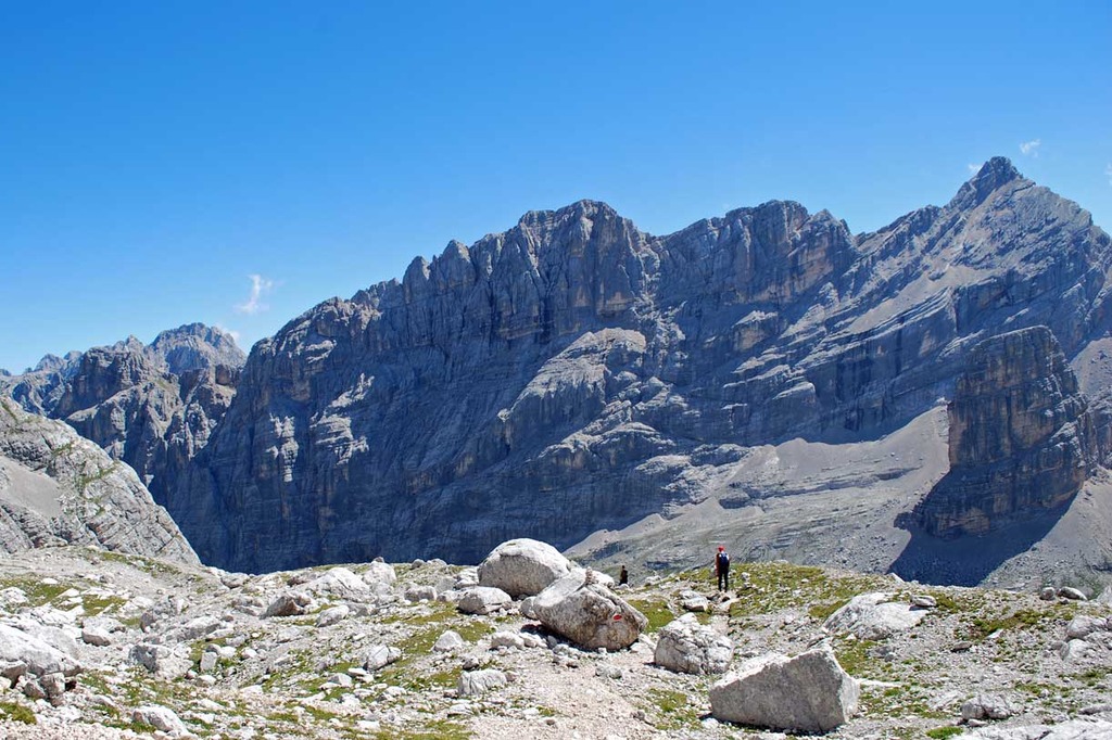
The itinerary starts in San Candido in Pusterìa and reaches Pieve di Cadore, in the Belluno province. It stretches out for approximately 85 kilometres along mule tracks and many other trails, and is also known as the Alta Via Ferrata. It is one of the most popular itineraries in the Dolomites, as there is plenty of mountain huts along the trail.
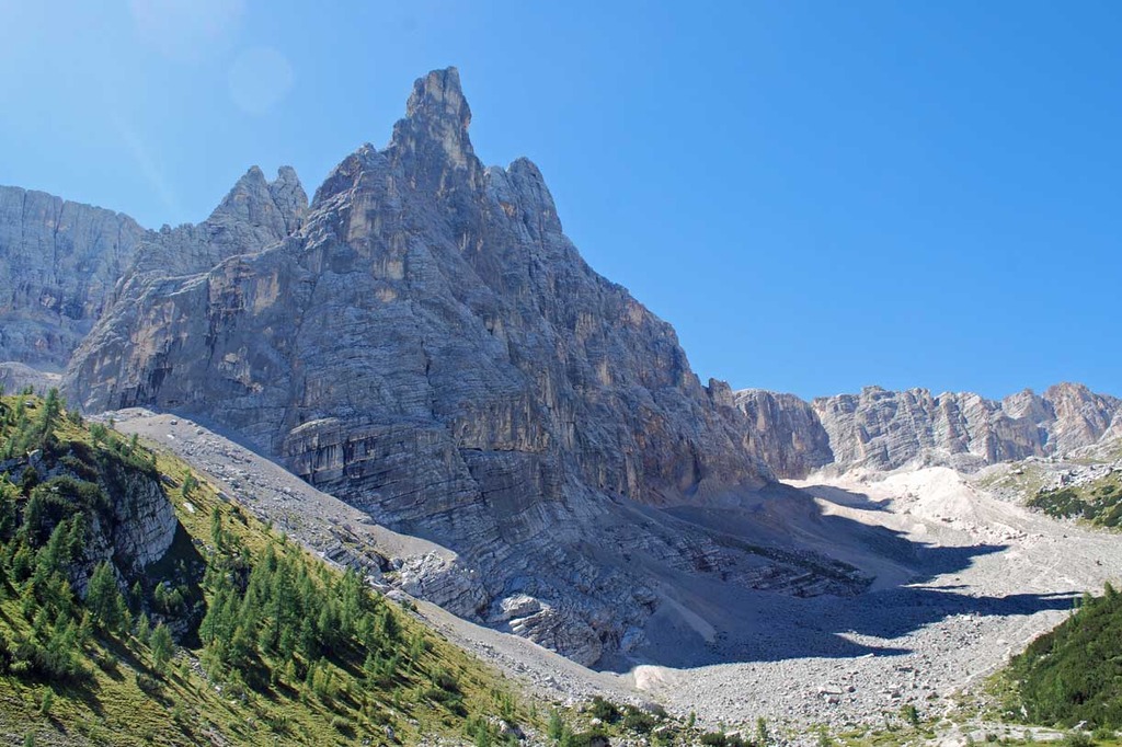
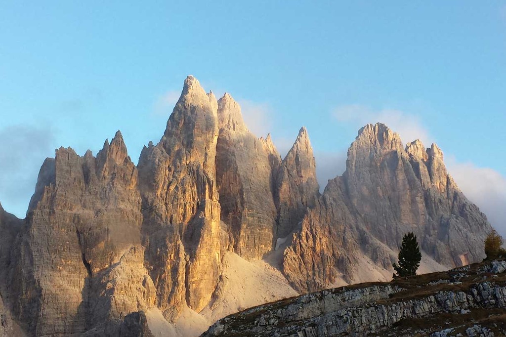
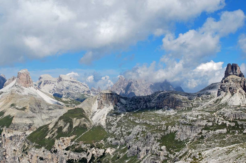
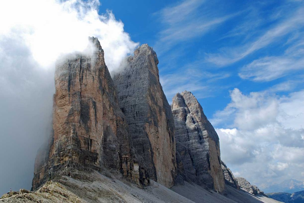
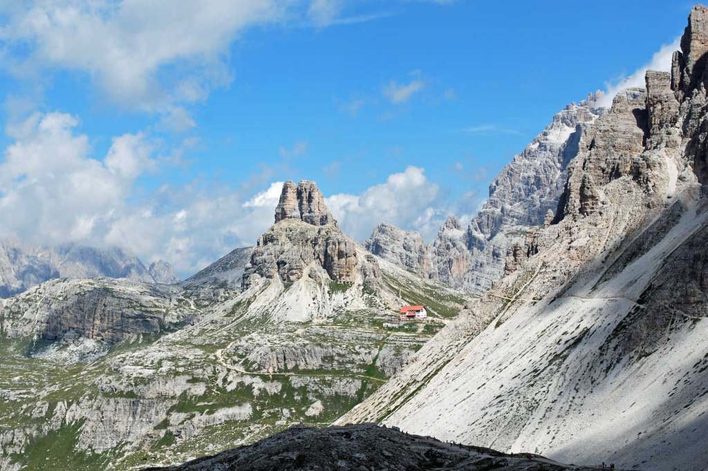
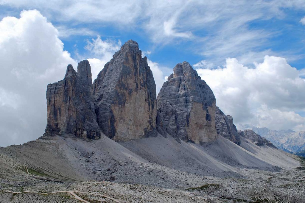
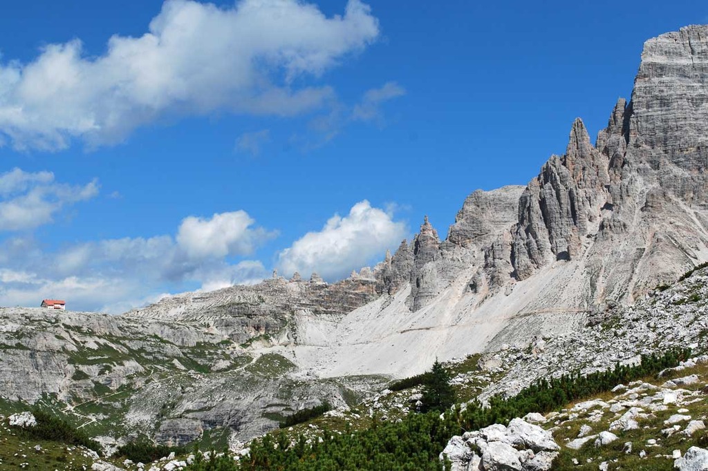
The first part of the itinerary is in a harsh environment, before the majestic Tre Cime di Lavaredo, the following sections are in wilder and less popular areas, from the Cadini mountain group, to the imposing Sorapiss group and the more isolated Monte Antelao.
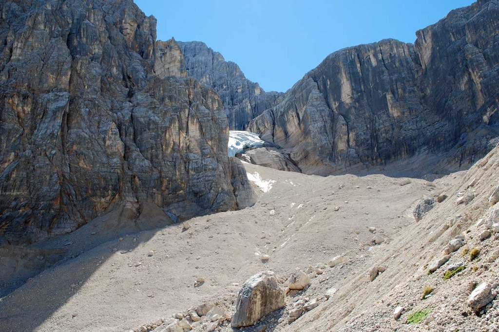
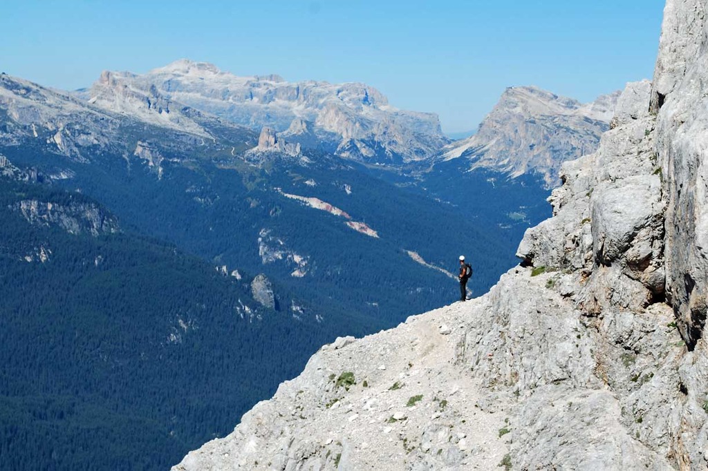
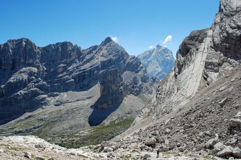
The section of the trail that links Rifugio Fonda Savio with the Rifugio Città di Carpi is highly interesting, with a variation aimed at expert mountaineers, that reaches the summit of Cima Ciadìn Nord Est through a via ferrata (ascent duration time 2h 30min).
Technical details of the Alta Via di Grohmann n.4 of the Dolomites:
- Starting point: San Candido in Pusterìa (or Rifugio Tre Scarpèri)
- Arrival point: Pieve di Cadore
- Length of the itinerary: approximately 85 kilometres
- Duration time: 6 days
- Overall elevation gain: approximately 4500 metres
- Overall elevation loss: approximately 4800 metres
- Highest point of the itinerary: 2624 metres (Forcella della Neve)
- Lowest point of the itinerary: 880 metres (Pieve di Cadore)
- Signposting: very good throughout the trail
Alta Via n. 5 of the Dolomites - Alta Via di Tiziano
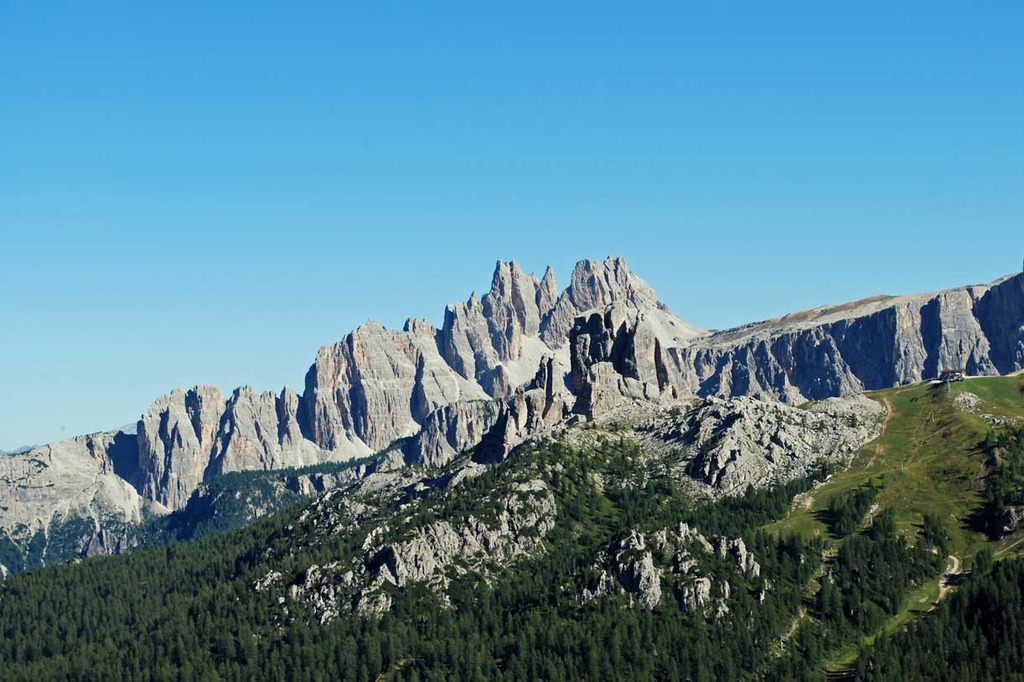
Starting from Sesto, in Val Pusteria, the Alta Via n.5 of the Dolomites reaches Pieve di Cadore: the 100 kilometre trail that links the two little towns is named after Tiziano, the famous painter of the Italian Renaissance, who was born in the region of Cadore.
The main itinerary, aimed at well-trained hikers, stretches out along relatively easy and well-equipped trails in the sections that traverse Croda dei Tòni and Monte Antelao, while it is more demanding on the Marmaròle, a mountain group close to other more famous Dolomites peaks, which can be ascended through a route with very few handholds: these mountains are considered a harsh but highly fascinating environment.
Across the slopes covered with gravel of Croda dei Toni, the hikers will get to the mountain hut Rifugio Giosuè Carducci, from where it is possible to continue on an easy trail to reach the town of Auronzo di Cadore. The following section of the trail offers to the hikers amazing views over the eastern Dolomites and the Val d'Ansièi, while proceeding towards the Rifugio Tiziano it is possible to admire the mountain groups of Popèra, Cadìni and Tre Cime di Lavaredo.
Technical details of the Alta Via n.5 of the Dolomites - Alta Via di Tiziano:
- Starting point: Sesto in Pusterìa
- Arrival point: Pieve di Cadore
- Length of the itinerary: approximately 90 kilometres
- Duration time: 7 days
- Overall elevation gain: approximately 5700 metres
- Overall elevation loss: approximately 6100 metres
- Highest point of the itinerary: 2644 metres (Forcella Jau de la Tana)
- Lowest point of the itinerary: 866 metres (Auronzo di Cadore)
- Signposting: very good throughout the trail


Contact us for booking or for information
tel. +39 3279311671 - booking@dolomitiskirock.com
Contact us