Technical details of the tour
Start and finish: Cortina d’Ampezzo
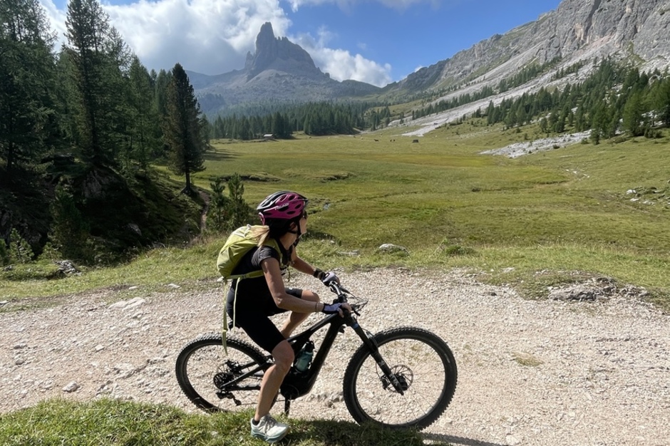
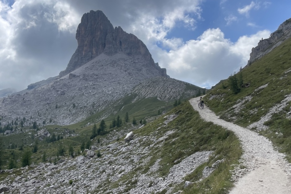
From Cortina, you climb towards Croda da Lago, continuing up to Forcella Ambrizzola (2,274 m).
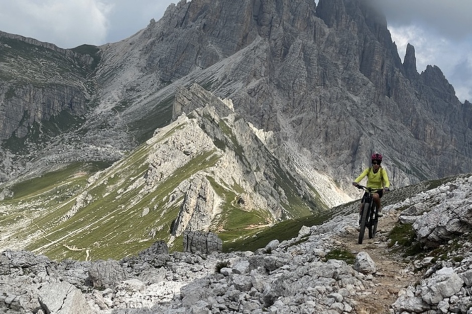
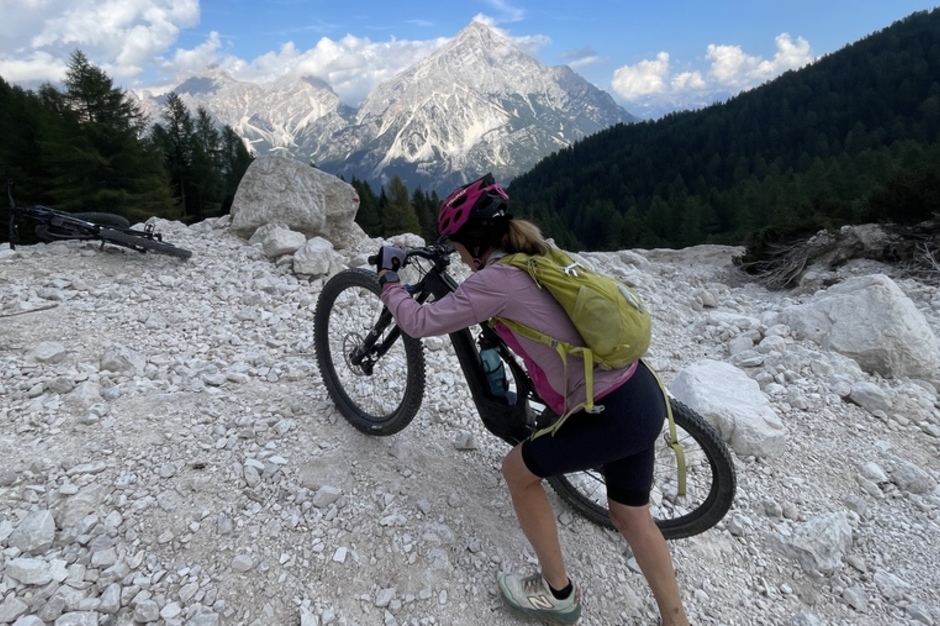
From the pass, a narrow trail descends to Casera Prendera (this steep and rough section is best done by walking the bike).
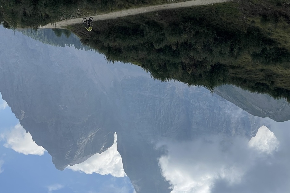
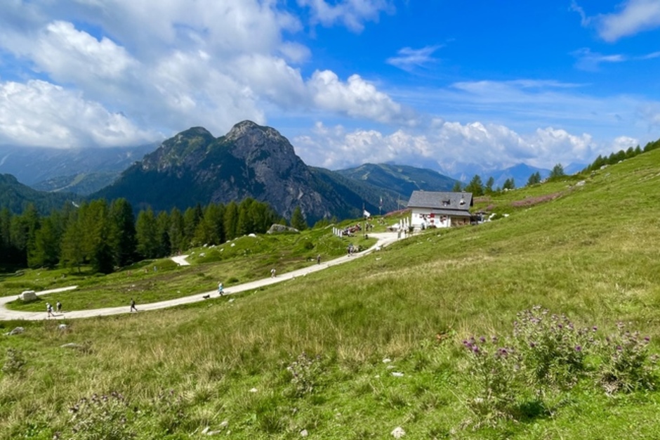
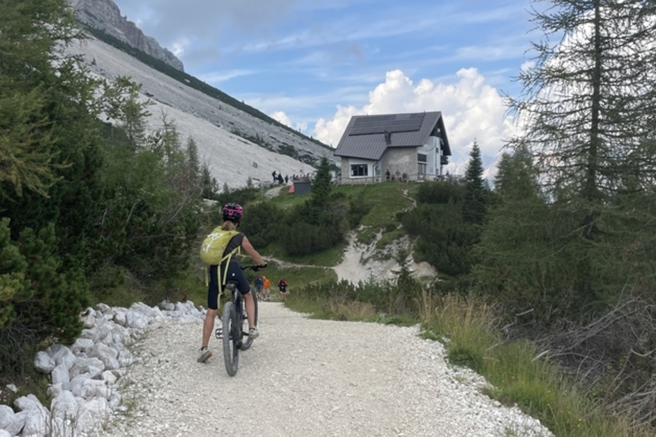
A wide dirt road then leads to Rifugio Città di Fiume (1,918 m), and from there to Passo Staulanza (recommended stop for a coffee).
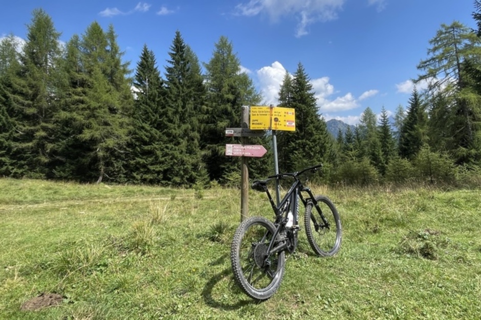
A short stretch on the main road brings you to Pala Favera, where you turn left towards the villages of Coi, Brusadaz, and Costa – ideal for a lunch break and battery recharge.
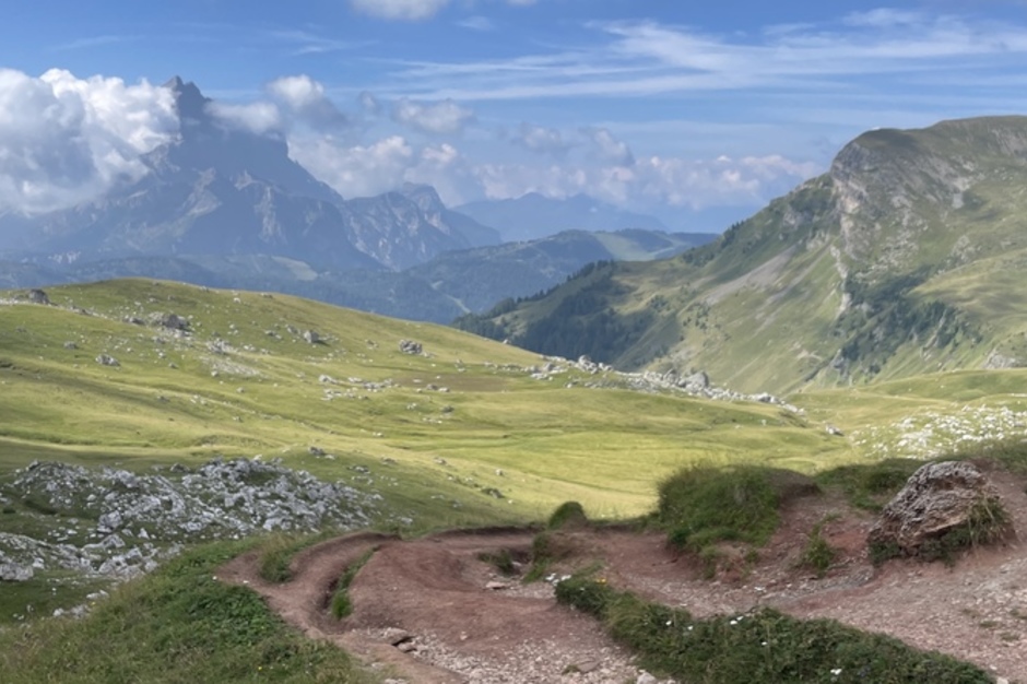
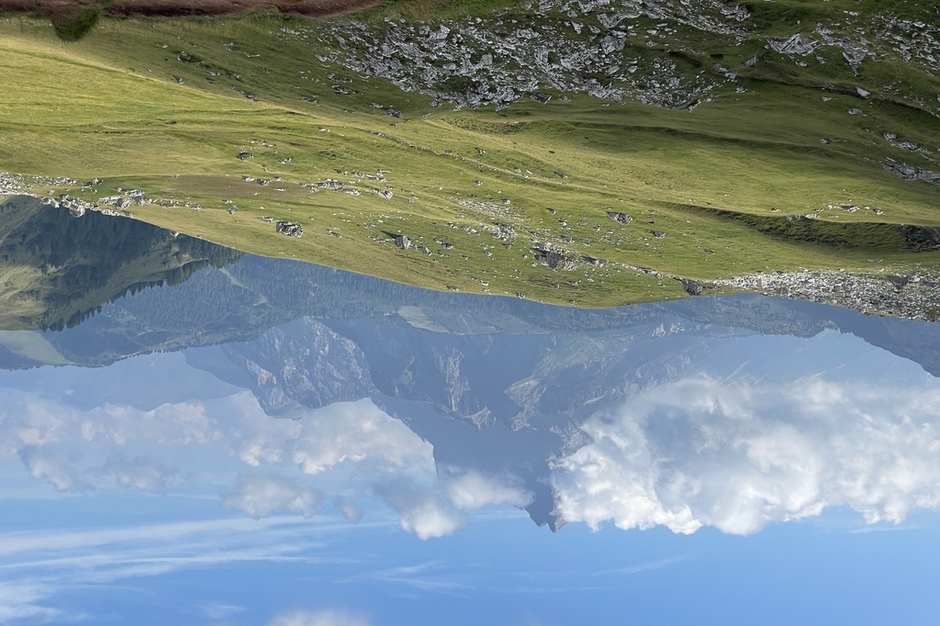
The route then climbs to Forcella Tamai, continues to Zoppè di Cadore, and reaches Rifugio Venezia (1,946 m), a truly breathtaking panoramic viewpoint.
From the hut, a steep and gravelly forest road descends to the hamlet of Serdes; from there you continue to San Vito di Cadore, then return to Cortina along the cycle path.
Practical information
Refreshment points: Rifugio Croda da Lago – Rifugio Città di Fiume – Rifugio Passo Staulanza – Rifugio Venezia
Total elevation gain/loss: 2,865 m
Route length: 69 km
Asphalted sections: only short stretches on the main road
Difficulty: demanding, with short uphill/downhill sections that must be done on foot
Phone coverage: good
Emergencies: in case of accident call 118
Recommended equipment: e-bike with high-capacity battery (e.g. 700 Wh)
Contact us for booking or for information
tel. +39 3279311671 - booking@dolomitiskirock.com
Contact us


